 (1).gif)
News:
Finance
Posted: July 12, 2019
A view from the Maine woods - by Donald MacKay

As an appraiser based in Orono, Maine and who specializes in timber properties I have an unusual perspective on the appraisal industry. Most people view the northern forests of Maine and the surrounding region as vast and remote, however there is a surprising amount of activity up there with respect to appraisal.
Despite the vast acreages of land up here, transactions up north often fly under the radar. It is not uncommon for comparable sales and appraisal assignments to be enormous, at least in acreage. It’s not unusual for an entire township or multiple townships, at approximately 20,000 acres each, to sell as one unit. Landowners, which can include corporations or families, commonly own extensive landholdings, consisting of many tens of thousands of acres. Many of these land holdings operate and sell as timberland properties, but buyer motivations are changing over time.
I get questions frequently on how such properties are appraised. The reality is that the same logic that applies to other assets applies to these large tracts. The valuation can include both a comparable sales analysis, as well as an analysis of the cash flow from the land production, such as timber harvests, or rental income such as recreational uses or leasing. Notably, many of the rural places I work are losing population, in some places at a surprising rate. That’s often troublesome because our typical appraisal theory seems to focus more on rates of population growth than rates of decline. Nonetheless, even with population declines, development does seem to occur, though at a slower pace.
While a lot of the large properties are timberland, that asset is becoming more complicated over time. Investors are constantly working to extract returns from their investment. One property I am appraising has a huge wind farm on it. Several of them have carbon sequestration agreements on them. If you haven’t heard of those agreements, essentially the landowner agrees not to cut a portion of the trees for 100 years to tie up carbon. The economics works on some really large properties, but the landowner must make careful choices about the future of the property. Solar farms seem to be mentioned with increasing frequency, though many spots up here are too remote from transmission lines. Conservation buyers have become extremely active up here, too, buying large acreages from timber companies, which they may resell encumbered with a conservation easement. All this new activity means the comparables and subject property are becoming more and more difficult to analyze.
Technology is changing fast, too, particularly for remote properties. Twenty years ago, to appraise a remote property I’d drive down a distant gravel road with a paper map and compass, while looking for painted red or blue blazes on property corners. Now, everything is digitized. Just as your own work likely now involves data developed from geographic information systems (GIS) and perhaps aerial photographs, those tools are used up here and on a massive scale. Even on a huge woodland property, the boundaries are delineated on a digital GIS map and I can easily find my location as a red dot on a map on either my phone or iPad. That’s helpful for an appraiser, because the risk of inspecting the wrong piece of woods has declined considerably! Plus, it’s helpful to find your way back at the end of the day.
The technology continues to race further ahead, even up here. Planes with combinations of cameras, radar and lasers travel over the forests, measuring tremendous details about roads, water frontage, terrain, elevation, and even the volume and types of timber on a property. If you have the computing power and the correct software, the amount of data available on a property is enormous. Like most people, I wonder if someday the rural appraiser like myself might be replaced by artificial intelligence, but it’s still a long way off. I do think better data will help rural areas. More information about an asset generally reduces the risk for buyers and investors, as they want to know what they are buying, with fewer surprises.
Nonetheless, there are still considerable risks in the system. For instance, I ride around with a lot of foresters, and they are often noting changes in the woods, even as our data is getting better. Just as climate change is in the news a lot this summer, and I’ve heard my share of foresters concerned about warming winters, increasing numbers of tree pests and changes in the natural vegetation. I struggle with how to best reflect these issues in my valuations. What do these changes potentially mean to the value of a property? Is it just an increase to the discount rate? Probably not, but it does add risk. These are troublesome issues, and not just found in the north woods. Between these environmental issues, plus the technology and market changes, appraisal remains a challenging profession!
Donald MacKay, MAI, Ph.D. is president of the Maine Chapter of the Appraisal Institute and the owner of Forest Research & Valuation in Orono, ME.
MORE FROM Finance
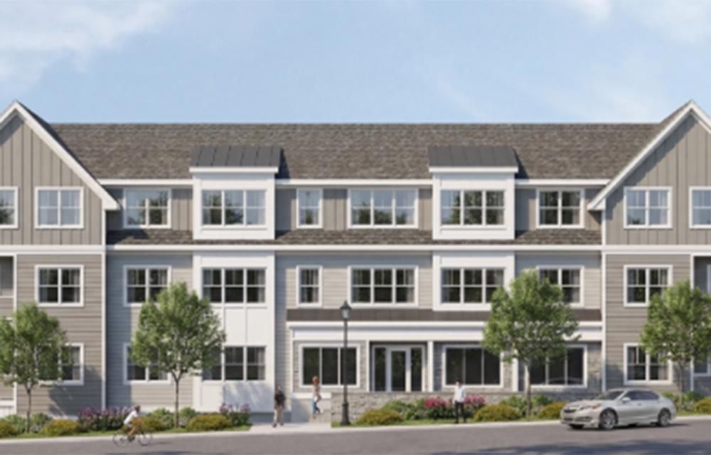
Washington Trust finances $28.8 million construction loan for 104-unit The Village at South County Commons
South Kingstown, RI The Washington Trust Company (Washington Trust) has financed a $28.8 million construction loan for new multifamily housing in Washington County.

 (1).gif)


Quick Hits

Columns and Thought Leadership

Reverse exchanges and the challenges of a competitive real estate market - by Michele Fitzpatrick
Our current, highly competitive real estate market poses specific challenges for investors who are considering taking advantage of a tax-deferred 1031 exchange. In this market, investors will have no problem selling their current property if priced properly, but they may find it difficult to find a suitable replacement property

Massachusetts real estate transfers over $1 million face new tax rules as of November 1st - by Daniel Meyer
Attention to owners of real estate in the Commonwealth (and the title companies and other professionals who advise them), the Massachusetts Department of Revenue (the “DOR”) recently adopted a new “millionaire’s tax” via 830 CMR 62B.2.4

The focus on price per s/f compared to the comparable sales used in the appraisal report - by Dennis Chanski
Over the past several weeks, I have completed appraisal assignments for private clients. Interestingly, after submitting these appraisals, I received several phone calls – not to question the value, content, or any incorrect information, but rather to discuss the price per s/f compared to the comparable sales used in the report.

Are appraisers on the same page as the assessor? - by Richard Seman
The purpose of this article is to address problematic or confusing issues which may help assessors and appraisers to better understand how to value real estate for tax assessment purposes.
