
News:
Owners Developers & Managers
Posted: October 30, 2015
Benefits of small unmanned aerial vehicles (sUAV) for real estate development - by James Hanley
 James Hanley - Civil Design Consultants, Inc.
Early this year, the Federal Aviation Administration (FAA) approved a long awaited waiver procedure to allow for the commercial use of small unmanned aerial vehicles (sUAV’s). A few forward thinking professionals realize the opportunity this presents. The potential applications are limitless and will vary by industry, however, two applications we believe will be employed across the real estate development profession are discussed below.
Real Time High Resolution Geo-Referenced Imagery
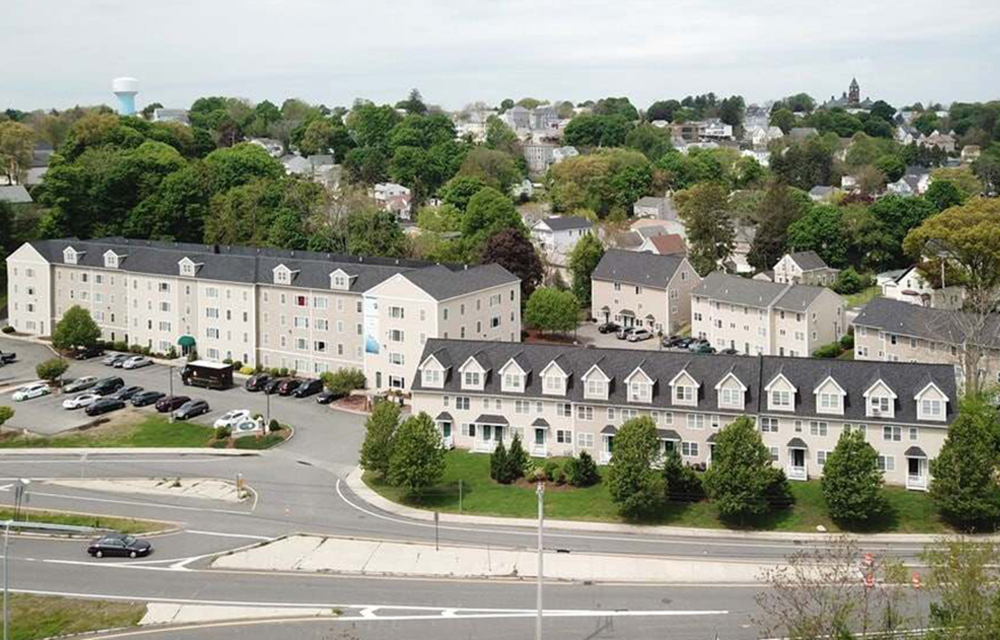
Like most in the industry, each new project in our office begins by collecting available data about the project location. Often this includes a search of the state’s GIS website to collect information that will allow us to quickly and efficiently assess site specific characteristics and identify potential constraints. This information is useful, however, the imagery is often years old, low resolution, and the data often lacks the detail required to truly assess the development potential of the property.
With an sUAV equipped with GPS and a mid-grade camera, high resolution georeferenced photomosaics can be efficiently developed to provide real time data. The images developed through this process can achieve a resolution of up to 15x greater than the best most current imagery available through the State’s online GIS resources. Parcels ranging from as small as a ¼-acre to as large as 250-acres can be flown during a single site visit with the imagery processed and available to the client for review within days. This process can often take weeks or even months when performed using conventional survey and aerial photogrammetry techniques. This is a game changer for the industry and those who embrace this new technology will realize a significant competitive advantage over their peers. These images can be used to quickly assess the current condition of the property, identify potential site constraints and determine the optimum locations for site improvements.
Observation, Monitoring & Inspection
Often times, construction progress is monitored in part from photos taken on the ground. While this can be a useful tool to assess the progress of construction and document conditions at a particular point in the process, the ability to generate high resolution aerial images on a regular basis - be it monthly, weekly or even daily - will provide a more complete record of progress (or lack thereof). The efficiency of the application allows for repetitive, regular use, and provides another useful tool for both the developer and contractor.
The inspection of bridges, buildings and towers results in some of the most dangerous work conditions for today’s consultants. Regardless of all the best practices employed and the safety measures observed, accidents can and do happen. Even the most skilled and well equipped inspectors cannot always gain safe access to all areas of a site due to active operations, grade changes or other construction obstacles. The ability to inspect infrastructure from the ground through the use of an sUAV viewing still pictures and video will result in less accidents - period. Although, this may not be a suitable method for all infrastructure inspection, where it is suitable, it will result in a safer work environment and a more complete level of inspection.
These are just two of the obvious applications of the new technology. However, to operate your sUAV legally for commercial interests in the U.S., the operator of the sUAV must hold, at a minimum, a recreational pilot certificate, a valid U.S. driver’s license and a waiver request must be prepared, filed and granted by the FAA.
Operation of an sUAV to pursue commercial interests without meeting these requirements is illegal. Those who choose to do so, or hire unqualified consultants, must be aware of the potential liability and exposure to fines and penalties. Earlier this month, the FAA announced a $1.9 million fine against an Illinois company providing commercial aerial photography services in violation of airspace regulations and various operating rules.
These requirements, along with the upfront costs associated with the sUAV, imaging software and training present a significant barrier for entry for many professionals. Luckily, as this technology becomes more and more accepted and understood, there will be no shortage of professionals offering these services. To limit your exposure to any potential liability when hiring a vendor to perform these services your company should require proof of the FAA waiver, a copy of the operator’s pilot certificate and proof of adequate insurance specific to sUAV operation.
The future is here. Many applications for this tool have yet to even be considered. Two obvious uses are summarized here but other applications include advanced image processing to create point cloud data and digital terrain models used in generating site topography, 3D models and fly through animations. Without question, this technology will provide a significant competitive advantage to those developers, architects, engineers and contractors who choose to embrace it.
James Hanley, PE, is president of Civil Design Consultants, Inc., Methuen, Mass.
MORE FROM Owners Developers & Managers

Harvard University, Tishman Speyer and Breakthrough Properties celebrate opening of the Enterprise Research Campus
Boston, MA Harvard University, Tishman Speyer and Breakthrough Properties celebrated the completion of the first phase of the Enterprise Research Campus (ERC), a nine-acre mixed-use development.


 (1).png)

Columns and Thought Leadership

Florida ruling raises bar for condo terminations and buyouts - by Michael Karsch
On October 14, 2025, in a landmark decision with significant implications for the Florida real estate market, the Supreme Court of Florida formally denied Two Roads Development’s (TRD Biscayne LLC) petition for review in its long-running case against unit owners of Biscayne 21,

Revitalized Town Centers: Retail??? - by Carol Todreas
It is now widely accepted that customers want to shop in person at physical stores. Brands know that they do better business in a physical store than just on line so they want to open stores. Demand for retail space by digital merchants, local entrepreneurs, and newly developed national chains

Retail infill strategy to activate Pawtucket’s Conant Thread District - by Gaetan Kashala
Until recently, the Conant Thread District consisted of approximately 150 acres of underutilized industrial land spanning Pawtucket and Central Falls. Today, the area is one of the most significant

IREM president’s message: Our new reality - Staying ahead of supply chain delays - by Yoany Vargas
Supply chain delays are slowing construction, ratcheting up operating costs, and extending turnover timelines across Greater Boston, directly reducing revenue and increasing the workload for multifamily and
 (1).png)