 (1).png)
News:
Owners Developers & Managers
Posted: August 5, 2022
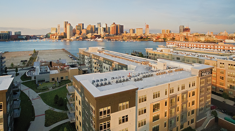
Designing for sea level rise - by Katherine Cruz

One of the most challenging aspects of development within coastal flood zones is planning for sea level rise. Developers and their consultants are being asked by permitting authorities and flood insurance providers to design for 2070 sea levels, corresponding flood elevations and wave action. Because most permitting authorities do not have specific design requirements, for example performance standards for Land Subject to Coastal Storm Flowage are not currently included in the Massachusetts Wetlands Protection Act, this involves review of municipal and state resiliency studies and flood models, including those created by the Massachusetts Office of Coastal Zone Management and MassDOT, to determine how specific project sites may be impacted. Projects needing to submit Environmental Notification Forms to the Massachusetts Environmental Policy Act (MEPA) Office, such as those that alter at least a half acre of flood zone and require a state permit, are asked to utilize the Climate Resilience Design Tool of the Resilient Massachusetts Action Team to determine future site conditions. Design aspects include site grading and materials, buildings, stormwater and utility infrastructure with the goals of resiliency and protection.

Buildings are generally designed so that “occupied spaces”, such as offices and residential areas, are set above the base flood elevation (100-year flood elevation indicated on FEMA Flood Insurance Rate Maps), and the anticipated depth of sea level rise. This depth can be upwards of three feet and varies depending on location and permitting requirements, such as Boston’s Article 25A Coastal Flood Resiliency Overlay District zoning code and Climate Ready Boston guidelines. Other portions of buildings, such as parking garages and storage rooms, may be set lower, even below the base flood elevation, with entrances sometimes protected by deployable flood gates. While mitigating for loss of flood storage volume is often not required since individual buildings typically have little impact on depths of coastal flooding, there may be a desire to maintain flood pathways through a building. This can be achieved by designing lower levels, usually parking areas, to be “flow through” with wall openings or engineered flood vents sized and located to meet National Flood Insurance Program guidelines. On sites that will be impacted by future wave action, developers may be asked to consider alternatives to flat building walls to reduce the reflection of waves.
Site grading can be used in various ways to design for resiliency and minimize impacts of sea level rise including providing accessible walkways to building entrances that are elevated above the anticipated increased flood elevations. Grading can also be used to blend gradually with elevations of surrounding areas to minimize channelization and increase in velocity of flood waters as well as changes to flood pathways. Utilizing vegetation and permeable surfaces rather than impermeable paved surfaces also helps to slow flood waters. Communities looking to protect themselves from flood events rather than maintain flood pathways may ask that projects along the coastline include berms, sea walls or other types of barriers.
Stormwater management systems may be required to be designed for 2070 rainfall depths. This can impact sizing of pipes, rip-rap at outfalls and water quality treatment best management practices. Stormwater management systems remain sized to convey stormwater from small storms, with flood waters draining overland. The elevation of stormwater drainage systems is generally not impacted by anticipated sea level rise because it would require raising the grade of the majority of project sites which would impact flood pathways and surrounding properties.

Elevations of above ground utility infrastructure are determined based on applicable building codes, permitting requirements and developer preferences. Generators are located above the base flood elevation either on building roofs or outside of buildings where they can be elevated by site grading or on platforms. Fuel storage tanks are also located 1-2 feet above base flood elevation, depending on ASTM standards, at ground level or on platforms. Transformers and associated electric equipment are generally not required to be elevated by private utility companies, who prefer easier, at-grade access. Elevating transformers above the base flood elevation provides resiliency and is preferable to regulatory agencies. Developers may elect to elevate them via site grading or platforms with oil containment provisions.
Means and requirements for planning for sea level rise continue to evolve and there are many different approaches to achieving protection and resiliency. Because there are many tools and resources available to developers and their consultants to assist in planning for future conditions via local, state and federal agencies, it is important to discuss your project with your civil engineer early during your due diligence phase. This allows for the resiliency approaches to be adapted to project and location specifics and ultimately your project to be successful.
Katherine Cruz, P.E., LEED AP, is an associate and project manager at Hancock Associates, Danvers, Mass.
MORE FROM Owners Developers & Managers
The Westin Portland Harborview to host exclusive VIP pop-up with The Woods Maine July 24–26
Portland, ME The Westin Portland Harborview will introduce an exclusive, limited-time pop-up shop with The Woods Maine, taking place July 24–26 in the city’s Arts District. This elevated retail experience brings The Woods Maine, the acclaimed Maine lifestyle brand behind the popular retail shop in Norway, Maine, directly to hotel guests and the local community.


Quick Hits


Columns and Thought Leadership

Retail infill strategy to activate Pawtucket’s Conant Thread District - by Gaetan Kashala
Until recently, the Conant Thread District consisted of approximately 150 acres of underutilized industrial land spanning Pawtucket and Central Falls. Today, the area is one of the most significant

Revitalized Town Centers: Retail??? - by Carol Todreas
It is now widely accepted that customers want to shop in person at physical stores. Brands know that they do better business in a physical store than just on line so they want to open stores. Demand for retail space by digital merchants, local entrepreneurs, and newly developed national chains

IREM president’s message: Our new reality - Staying ahead of supply chain delays - by Yoany Vargas
Supply chain delays are slowing construction, ratcheting up operating costs, and extending turnover timelines across Greater Boston, directly reducing revenue and increasing the workload for multifamily and

Florida ruling raises bar for condo terminations and buyouts - by Michael Karsch
On October 14, 2025, in a landmark decision with significant implications for the Florida real estate market, the Supreme Court of Florida formally denied Two Roads Development’s (TRD Biscayne LLC) petition for review in its long-running case against unit owners of Biscayne 21,