
News:
Owners Developers & Managers
Posted: November 25, 2016
What’s all the buzz about? - by Jonathan Avery
 Jonathan Avery, Avery Associates
Increasingly, there is a buzz in the air - not necessarily related to our recent political adventures in the presidential election. Rather the buzz may be coming from a drone near you. The number of drones in the air is increasing exponentially every year ranging from toy level drones available at Best Buy or even the local hardware store to sophisticated drones used for a variety of purposes and costing many thousands of dollars.
Members of the MA/RI chapter of the Appraisal Institute had an opportunity to get a view into the potential for drone applications in real estate at a recent seminar. A qualified and experienced appraiser, Lamar Ellis, III, MAI made an excellent presentation on the current use of drones in a variety of ways. Recently, the FAA has required registration of Unmanned Aerial Vehicles (UAV) referred to by most as drones. This is a fairly low level requirement costing only $5 and requiring only basic information. Once you receive a registration number it must be physically attached to your drone.
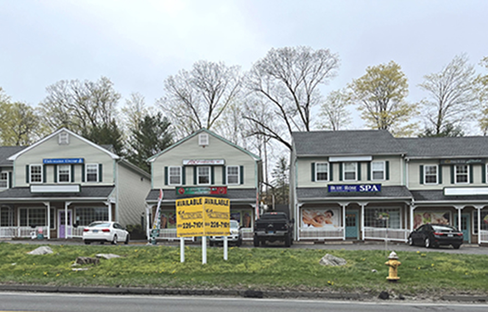
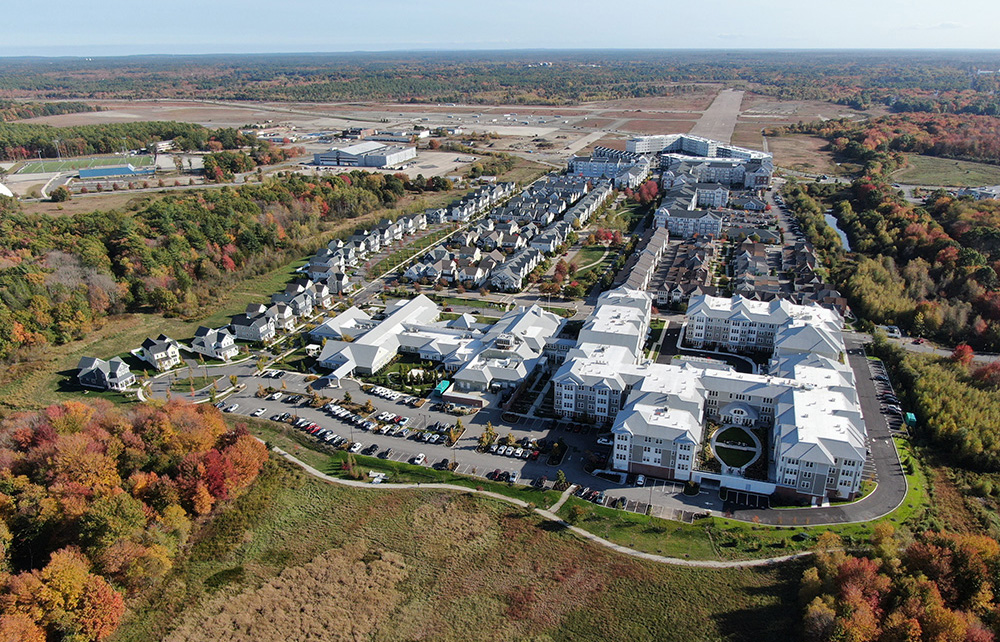
The advancing technology and decreasing costs have made drones potentially a very practical tool in real estate. Appraisers often are required to gather and analyze large volumes of data in order to support market analyses and understand the location context of a property. Aerial photography using a drone platform makes it a uniquely useful tool.
Clearly, the availability of aerial photos from such providers as Google Earth and Bing Maps provide extensive information. However, the use of a camera equipped drone would allow for more specific and targeted analysis of current conditions at the time of the analysis. An overhead view provides an excellent window into the physical proximity of competing properties and available land which may provide future competition for the property being analyzed.
Drones are a preferred option for many of the jobs which are either extremely expensive or potentially dangerous in real estate and property management. For example, inspection of cellular communication towers, roofs, electrical transmission facilities and oil production facilities are often cited as examples.
Clearly, there is a great difference between the toy level drones and those for professional applications. The cost difference can be significant. However, for the beginner, crashing a toy drone is far better. In addition, there are an increasing set of rules which limit the areas within which drones may be operated and over which they may be flown. This is a rapidly evolving technology, but one which may play an increasingly important role in analysis, investment and management of real estate assets. Be on notice that the buzz in the sky may be connected to a drone supporting the very practical aspects of ownership and operation of real estate assets.
Jonathan Avery, MAI, CRE, is president of Avery Associates, Acton, Mass.
MORE FROM Owners Developers & Managers

The Westin Portland Harborview to host exclusive VIP pop-up with The Woods Maine July 24–26
Portland, ME The Westin Portland Harborview will introduce an exclusive, limited-time pop-up shop with The Woods Maine, taking place July 24–26 in the city’s Arts District. This elevated retail experience brings The Woods Maine, the acclaimed Maine lifestyle brand behind the popular retail shop in Norway, Maine, directly to hotel guests and the local community.


 (1).png)

Columns and Thought Leadership

Florida ruling raises bar for condo terminations and buyouts - by Michael Karsch
On October 14, 2025, in a landmark decision with significant implications for the Florida real estate market, the Supreme Court of Florida formally denied Two Roads Development’s (TRD Biscayne LLC) petition for review in its long-running case against unit owners of Biscayne 21,

Revitalized Town Centers: Retail??? - by Carol Todreas
It is now widely accepted that customers want to shop in person at physical stores. Brands know that they do better business in a physical store than just on line so they want to open stores. Demand for retail space by digital merchants, local entrepreneurs, and newly developed national chains

IREM president’s message: Our new reality - Staying ahead of supply chain delays - by Yoany Vargas
Supply chain delays are slowing construction, ratcheting up operating costs, and extending turnover timelines across Greater Boston, directly reducing revenue and increasing the workload for multifamily and

Retail infill strategy to activate Pawtucket’s Conant Thread District - by Gaetan Kashala
Until recently, the Conant Thread District consisted of approximately 150 acres of underutilized industrial land spanning Pawtucket and Central Falls. Today, the area is one of the most significant
 (1).png)